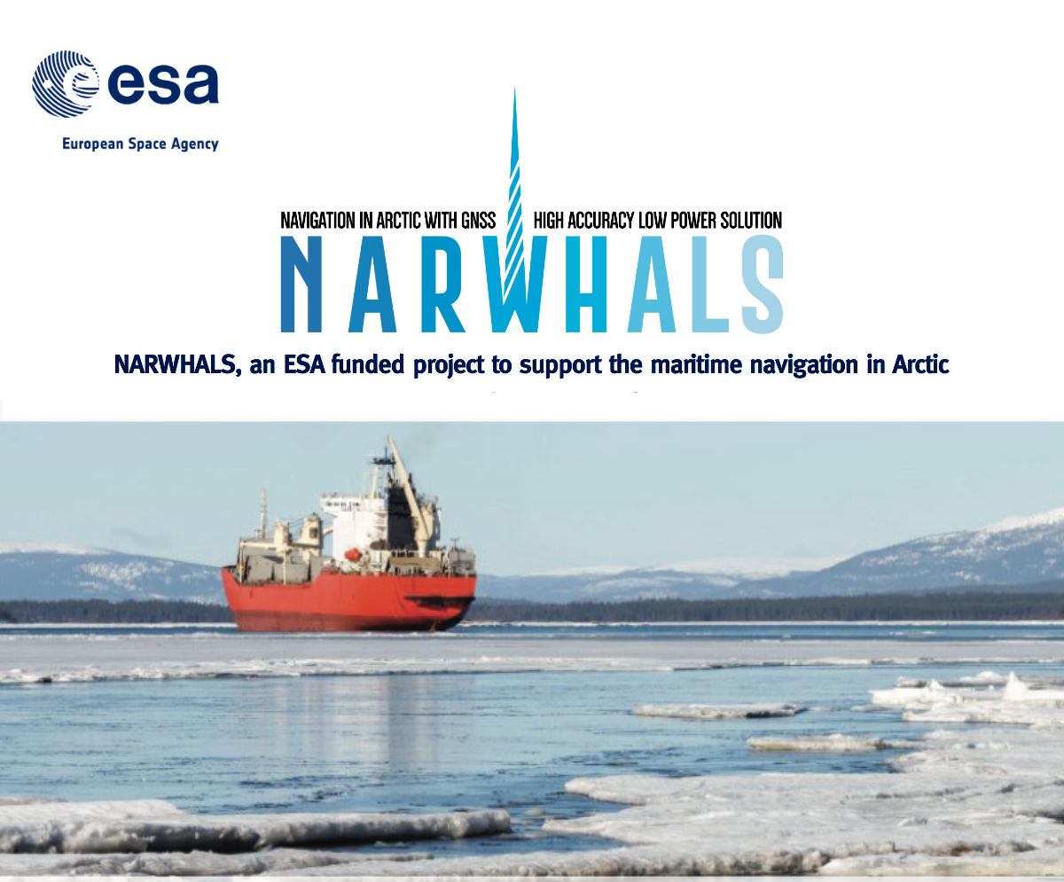
Narwhals

High accuracy positioning by monitoring and mitigating the ionospheric impact on GNSS navigation
NARWHALS aims to realise a service capable of providing high accuracy positioning by monitoring and mitigating the ionospheric impact on GNSS navigation in arctic sea.
In the Arctic area systems of based augmentation like EGNOS, WAAS and SBAS are not accurate for GEO satellite low angle of visibility and ionospheric disturbance. NARWHALS solution will aim at enhancing the positioning accuracy integrating low power systems able to handle, forecast and interpret ionospheric data useful to mitigate the effect of the ionosphere on high accuracy positioning systems.
The idea behind NARWHALS is to provide information useful for the mitigation of ionospheric effects to GNSS service providers operating in Arctic region. This information, consisting in different parameters about the level of ionospheric disruption on the signal coming from each GNSS satellite, will be included in the correction messages sent to the final users.
More information on Narwhals web page on ESA