• intro 3
  • intro 1
  • intro 4
  • intro 2
  • intro 5
  • intro 3
  • intro 1
  • intro 4
  • intro 2
  • intro 5

A story based on science and innovation

Better solutions through research

SET


A spin-off company of Istituto Nazionale di Geofisica e Vulcanologia one of the biggest research bodies in Italy: a team of engineers, physicists and geologists with a long involvement in research and business management with a view to creating added value from the results of more than 60 years of experience.

SpacEarth designs and develops applications, software and hardware products for the Aerospace, Maritime and Environment fields, in cooperation with major European and Italian public and private organizations, universities and research centers.

About us

Meet the team

Environment

Environment

Remote sensing, geothermal monitoring and mine seismology.
Aerospace

Aerospace

High precision monitoring system for space weather and earth observation.
Maritime

Maritime

Deep sea monitoring by data acquisition and control system.

2020, September - New approach to seismic monitoring system will make mining safer.

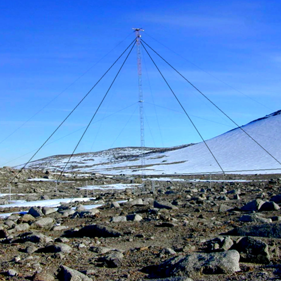
Monitoring System of rock stability in mines based on Advanced 4D seismic analysis.

Ground collapse during mining operations can be devastating, for both miners and the industry.

Advanced detection tools will help avoid this worst-case scenario.

European Commission CORDIS

Tags: Environment

Highlights

Fields of expertise

GNSS

Ionospheric Physics

The prediction and the mitigation of the stormy ionospheric weather is part of the space weather.

RADAR

HF Communications

Exploiting a long-standing experience today we are able to carry out feasibility studies of long range links in the HF band.

Remote sensing and Geodesy

Geohazard monitoring, using a multiple-scale approach and exploiting a wide range of data.

GNSS

Space Weather

Research and applications for assessing, predicting and mitigating the effects on technological systems.

RADAR

HF and VHF Radar

Design and development of the RF hardware, acquisition circuitry, control system and antennas.

Environmental Geophysics

Geophysical exploration to obtain informations on the structure of the subsoil, the first meters of depth up to several hundred meters.

  • Consiglio Nazionale delle Ricerche

    Roma, Italy
  • Politecnico di Torino

    Torino, Italy
  • Istituto Superiore Mario Boella

    Torino, Italy
  • Mackenzie University

    Sao Paolo, Brazil
  • Septentrio Satellite Navigation

    Leuven, Belgium
  • South Africa National Space Agency

    SANSA, South Africa
  • Space Research Centre

    Polish Academy of Science, Warsaw
  • Telespazio

    Roma, Italy
  • University of Bath

    Bath, United Kingdom
  • University of Nottingham

    Nottingham, United Kingdom
  • Consiglio Nazionale delle Ricerche
  • Politecnico di Torino
  • Istituto Superiore Mario Boella
  • Mackenzie University
  • Septentrio Satellite Navigation
  • South Africa National Space Agency
  • Space Research Centre
  • Telespazio
  • University of Bath
  • University of Nottingham

set logo 100

Spacearth Technology Srl 

C.F. 12975411005 - P.IVA 12975411005

  • Via di Vigna Murata 605, 00143 Roma
  • Phone +39 06 51 860 396

infospacearth.net