-
ARISTIDE
ARISTIDE - Artificial Intelligence based Forecasting of large-scale Travelling Ionospheric Disturbance over Europe - Avviso pubblico Riposizionamento Competitivo Ambito Programma regionale FESR Lazio 2021-2027
Lo scopo di questo progetto è la realizzazione di una piattaforma di Continuous Intelligence basata su modelli di Machine Learning per la previsione di LSTID con alcune ore di anticipo, attraverso l’analisi e interpretazione di un’ampia gamma di osservazioni geomagnetiche della corona solare, del mezzo interplanetario, della magnetosfera, della ionosfera e dell’atmosfera. In particolare, la piattaforma fornirà uno strumento di monitoraggio real-time, che sfruttando le capacità predittive dei modelli di Machine Learning, attuerà un servizio di Early Warning. Inoltre, i modelli di previsione saranno costruiti utilizzando l’informazione catturata da un ampio ed eterogeneo insieme di segnali dipendenti dal tempo (es., serie storiche) provenienti da varie regioni del geospazio e utilizzando come label di training le serie di dati delle LSTID relative al settore europeo, a disposizione dei partner (es., INGV) grazie alla precedente esperienza maturata in progetti dedicati al rilevamento di LSTID. Questi dati forniscono una solida ed affidabile base su cui costruire modelli robusti e accurati di Machine Learning supervisionato.
Contributo ammesso: 503.420,42 €.
-
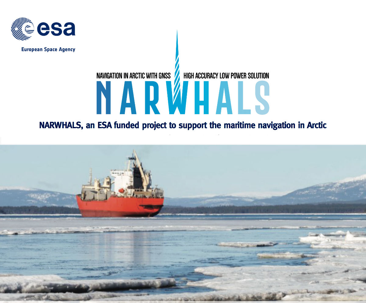
Narwhals
NARWHALS
NARWHALS aims to realise a service capable of providing high accuracy positioning by monitoring and mitigating the ionospheric impact on GNSS navigation in arctic sea.
More info on Narwhals -
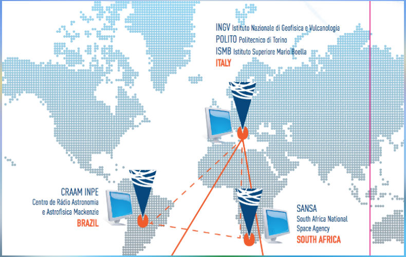
Antarctic Project
DemoGRAPE
The Antarctic project DemoGRAPE has the role to standardize the GNSS project data acquired in the Antarctic stations Sanae IV (South Africa) and Comandante Ferraz (Brazil). DemoGRAPE will release the prototype of a new service based on local data and ad hoc processors, capable to demonstrate a significant improvement of the precise positioning over Antarctica. Thanks to the Cloud technology, the prototype will be accessible to a plethora of different stakeholders, from academic to private, interested in the high precision applications.
-

Sesar Project
Telespazio
SESAR unites around 3,000 experts in Europe and beyond in an effort to make the SES (Single European Sky) a timely reality by developing technologies and procedures for a new-generation of the ATM (Air Trafic Management) system capable of enhancing performance. As part of the European ATM Master Plan, the performance results are forecast to be achieved on improvements to ATM operations, including technical systems, procedures, human factors and institutional changes.
Link to Sesar project website -

EMSO MedIT Project
EMSO MedIT
SpacEarth Technology has been involved in EMSO MedIT (European Multidisciplinary Seafloor and water column Observatory Project) to design and realize data acquisition and transmission boards of the underwater geophysical observatory of Portopalo (Sicily)
More info on EMSO MedIT website -

EMSO-DEV Project
EMSO-DEV
SpacEarth Technology is involved in the H2020 EMSODEV Project as linked third party. EMSO-DEV (European Multidisciplinary Seafloor and water-column Observatory DEVelopment) is a project aimed at catalyzing the full implementation and operation of EMSO distributed Research Infrastructure (RI), through the development, testing and deployment of an EMSO Generic Instrument Module (EGIM). This module will ensure accurate, consistent, comparable, regional-scale, long-term measurements of ocean parameters, which are key to addressing urgent socio-scientific challenges such as climate change, ocean ecosystem disturbance and marine hazards.
Visit EMSO website